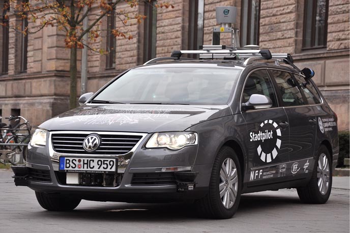
RADAR (radio detection and ranging) uses radio waves that, when intercepted by an object, bounce part of the wave's energy back to the dish. The distance and position of the object is determined by knowing the speed of the radio signal, the time between when the signal was sent and returned, and the angle and direction of the direct line between dish and object.
GPS (global positioning system) was established by the US Department of Defence in 1993. It consists of a series of 24 to 32 orbital satellites which send precise radio signals down to the surface to provide exact locations. For automated vehicles, GPS allows the vehicle to know exactly where it is on city maps and navigate road systems or plot routes from one location to another.
LIDAR (light detection and ranging) is an optical sensing technology that can measure the distance and position of an object by illuminating the target with pulsed light. This system has a great application in automated vehicles for providing data to the program about the relative position, speed, and distance of objects around the vehicle.
Cameras capture images with electronic eyes. Because they can detect visible light and, unlike our eyes, infrared (or heat) as well, they can be useful in automated vehicles. Machine learning software recognizes the shape of objects such as other vehicles, people, and street signs.

